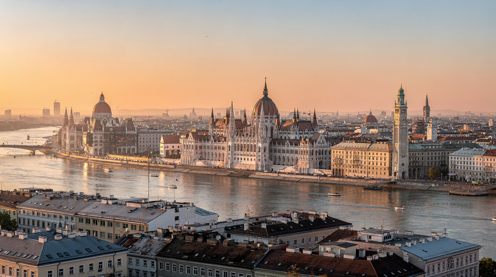
Kahlenberg hike from Vienna: the panoramic summit above the city
Vienna Woods and Mayerling Half-Day Tour from Vienna
How do you hike to Kahlenberg from Vienna?
Take U4 to Heiligenstadt, then bus 38A to the Kahlenberg summit stop (25–30 minutes). From there you can enjoy the viewpoint, walk the ridge to Leopoldsberg (45 minutes), or hike down through vineyards to Grinzing village (45 minutes) for a Heuriger wine session. No special equipment needed.
Vienna from above: the hill that saved a city
Kahlenberg (484 metres) is the northernmost peak of the Vienna Woods, perched above the Grinzing wine district where the hills meet the Danube. On 12 September 1683, the combined Polish-Habsburg relief army under the Polish king Jan III Sobieski mustered on the Kahlenberg ridge and launched the cavalry charge that broke the Ottoman siege of Vienna — one of the decisive military engagements in European history. The city had been besieged for 60 days; the relief came at dawn from the hill now accessible by bus 38A from Heiligenstadt U-Bahn.
Today Kahlenberg offers Vienna’s finest panoramic viewpoint above the city, accessible to any visitor without climbing equipment, significant fitness or special planning. It is also the starting point for one of Vienna’s most pleasurable local traditions: hiking through the vineyards to a Heuriger in Grinzing for young white wine and cold cuts.
| Where | Vienna Woods, above Grinzing, 484m summit |
| Cost | Standard transport fare, around €2.40 single (or day pass) |
| Time needed | 30 minutes by bus; 1.5 hours if hiking up from Grinzing |
| Getting there | U4 to Heiligenstadt, then bus 38A |
| Best time | Late afternoon for golden-hour views; September–October for harvest |
Getting to Kahlenberg
By bus (the easy option)
Bus 38A runs from Heiligenstadt U-Bahn station (U4 terminus) to the Kahlenberg summit, taking 25–30 minutes. The bus runs approximately every 30–60 minutes depending on the day and season; check current schedules at wienerlinien.at.
The bus climbs through the Grinzing wine district — past the Heurigen wine taverns and the terraced vineyard slopes — before reaching the wooded summit. A bicycle lane also follows this route for those who prefer to cycle.
Cost: Standard Vienna public transport fare (€2.40 single, or day pass/Vienna City Card). No special ticket needed.
Return: The same bus 38A returns from Kahlenberg to Heiligenstadt. Alternatively, walk down to Grinzing (45 min) and take a different bus or tram back.
By hiking from Grinzing (1.5 hours, 200m ascent)
The hiking ascent from Grinzing village to Kahlenberg follows the marked trail (red-white-red markers) through the vineyards and forest. Distance: approximately 5 km. Ascent: 200m. Time: 1.5 hours uphill, 1 hour downhill.
Starting point: Grinzing village centre (bus 38A from Heiligenstadt, or tram D from the Ringstrasse). Walk north through the village, past the Heurigen, until the trail signs indicate the route into the vineyard slopes.
The vineyard section: For the first 20 minutes, the trail climbs through working Grüner Veltliner and Riesling vineyards — rows of vines on steep terraces, with the first views over Grinzing and Vienna opening behind you. This is the most attractive section.
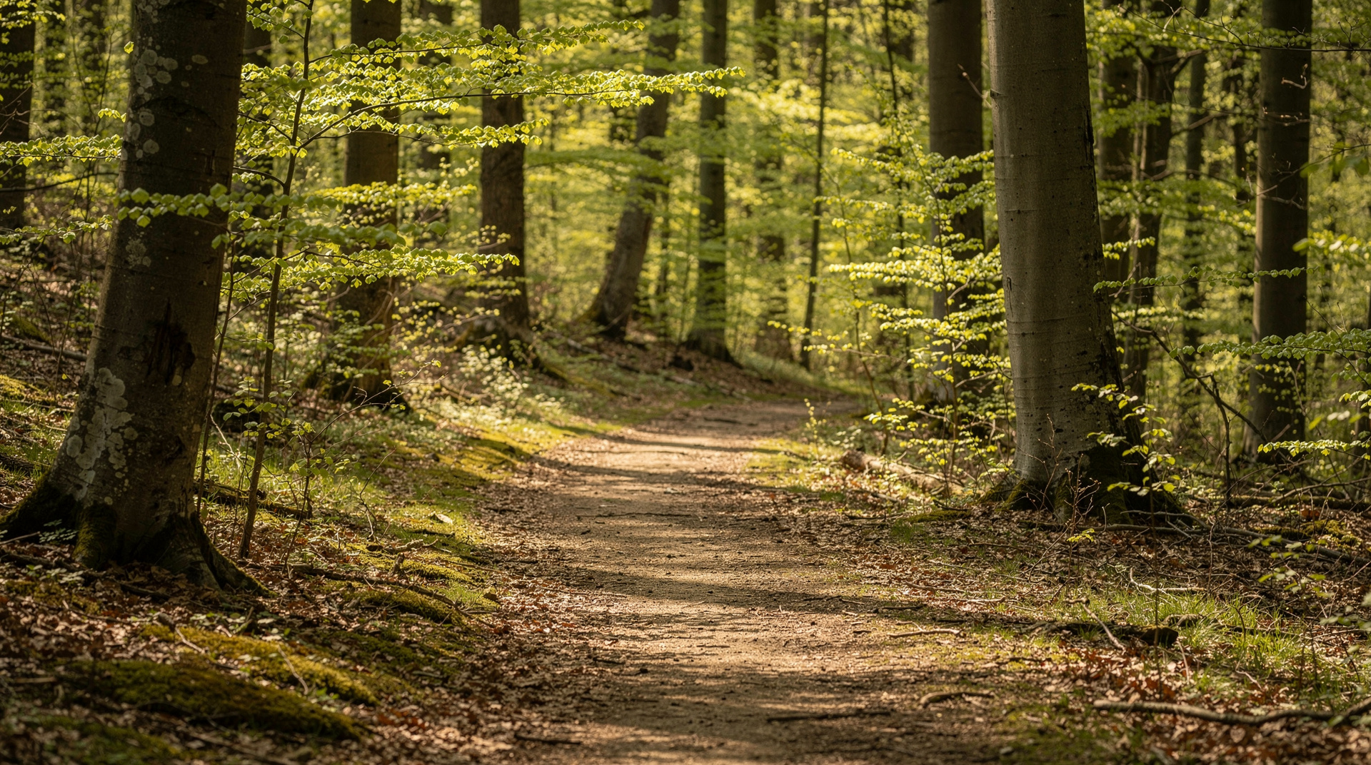
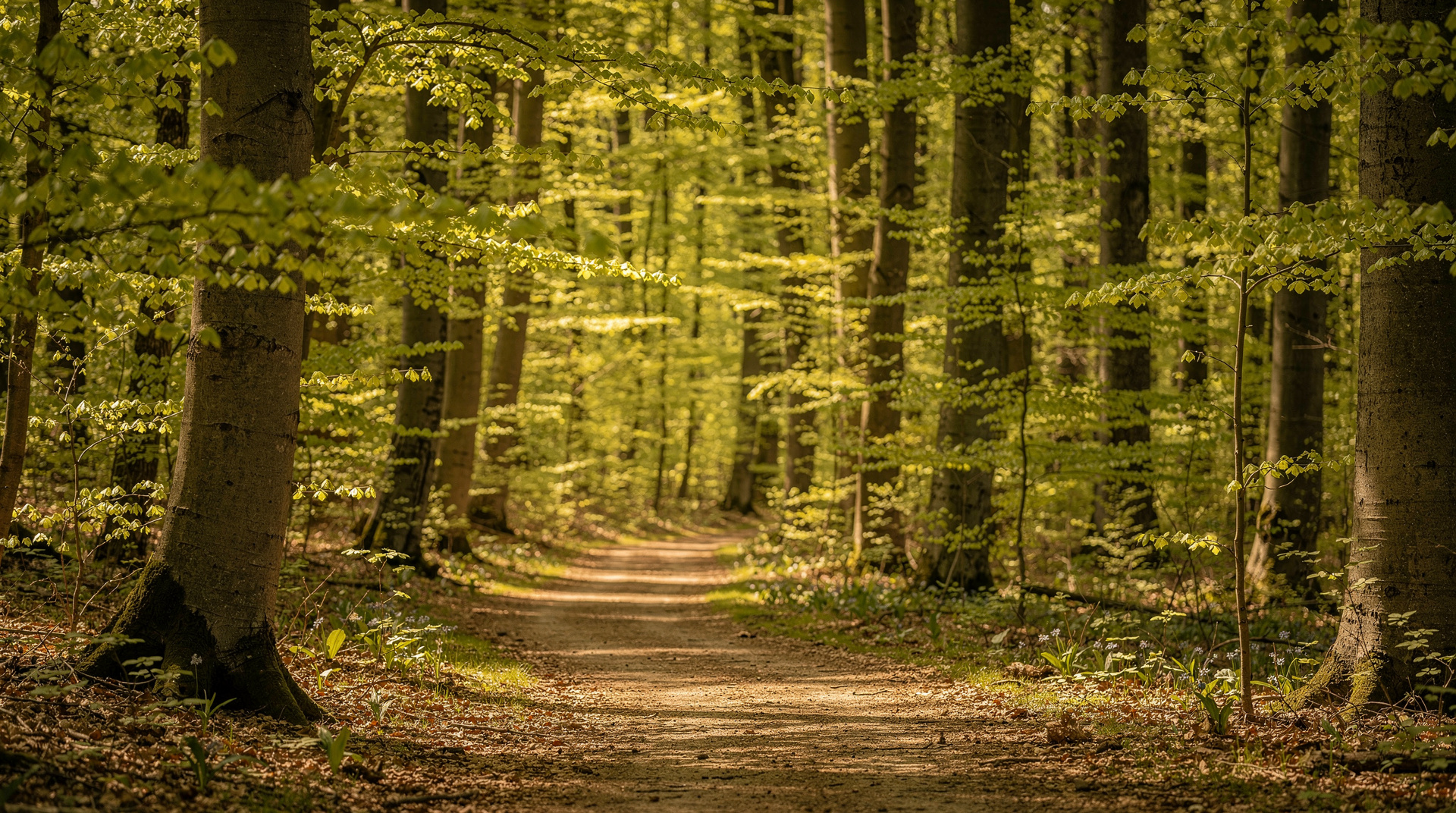
The forest section: After the vineyard belt, the trail enters beech and oak forest for the remaining climb to the summit. The path is well-maintained and comfortable in walking shoes.
This ascent is the recommended approach for visitors who want real exercise and the satisfaction of having actually hiked Kahlenberg. The descent back through the vineyards to a Grinzing Heuriger is the logical conclusion.
The summit viewpoint
The Kahlenberg viewpoint is a terrace on the southeast side of the summit with an unobstructed 180-degree view over Vienna and the Danube basin:
East: Vienna city centre, identifiable landmarks: the Stephansdom spire, the golden dome of the Karlskirche, the modern UN City towers, and on clear days the Schönbrunn hilltop Gloriette.
Northeast: The Danube bend and Klosterneuburg Monastery — the Baroque towers visible above the river at 12 km distance. Beyond: the Marchfeld plains stretching to the Slovak border.
Far east: On exceptional days (low humidity, no haze), the Pannonian plain extends 50+ km east and the Leithagebirge hills of Burgenland are visible.
South: The Rax and Schneeberg massifs (Vienna’s ski mountains, 80–90 km away) are sometimes visible as a white wall on the southern horizon in winter.
The Kahlenberg summit café-restaurant has an outdoor terrace with essentially the same views as the viewpoint. Seasonal opening (generally April to October).
Historical significance of the view
The panorama was what the relief commanders were studying on the night of 11–12 September 1683. Below them, the besieged Vienna was reduced and exhausted; the Ottoman camp filled the plain south and east of the city (the Wienerfeld, now the 10th and 11th districts). The cavalry charge of 20,000 Polish hussars at dawn proved decisive — the Ottoman Grand Vizier Kara Mustafa fled, leaving 15,000 tents, enormous supplies, and eventually his head to the sultan’s emissary.
The baroque church on Kahlenberg (Josefskirche, 1629) was used by Sobieski’s chaplain Marco d’Aviano to celebrate mass for the relief army before the battle. It is still standing and open for visitors.
The ridge walk to Leopoldsberg
From Kahlenberg summit, a 45-minute ridge walk northwest through forest leads to Leopoldsberg (425m) — a separate hilltop with a different historical significance and good views north over the Danube.
Leopoldsberg was the site of a Roman fortification and later a medieval castle (the original “Kahlenberg” castle — the names were switched in the 17th century causing some historical confusion). Today the hilltop has a Baroque church (Maria Hilf, 1693), a café-restaurant with a terrace, and views north over the Klosterneuburg Monastery and the Danube bend.
From Leopoldsberg: Walk down to Klosterneuburg town (40 minutes downhill), from where S-Bahn services run back to Wien Hauptbahnhof (20 minutes) and the Klosterneuburg Monastery itself is worth 30–45 minutes (Augustinian monastery, one of the most significant in Austria, with a functioning winery).
Full ridge loop: Heiligenstadt U-Bahn → bus 38A → Kahlenberg → ridge walk to Leopoldsberg → walk down to Klosterneuburg → S-Bahn back to Wien Hauptbahnhof. Total: 4–5 hours including the summit café stop.
Grinzing and the Heuriger tradition
The descent from Kahlenberg through the vineyards to Grinzing takes about 45 minutes on the marked path. Grinzing is the most traditional of Vienna’s wine-village suburbs — a string of Heurigen (wine taverns) along the main street and side lanes, many operating in historic courtyard settings.
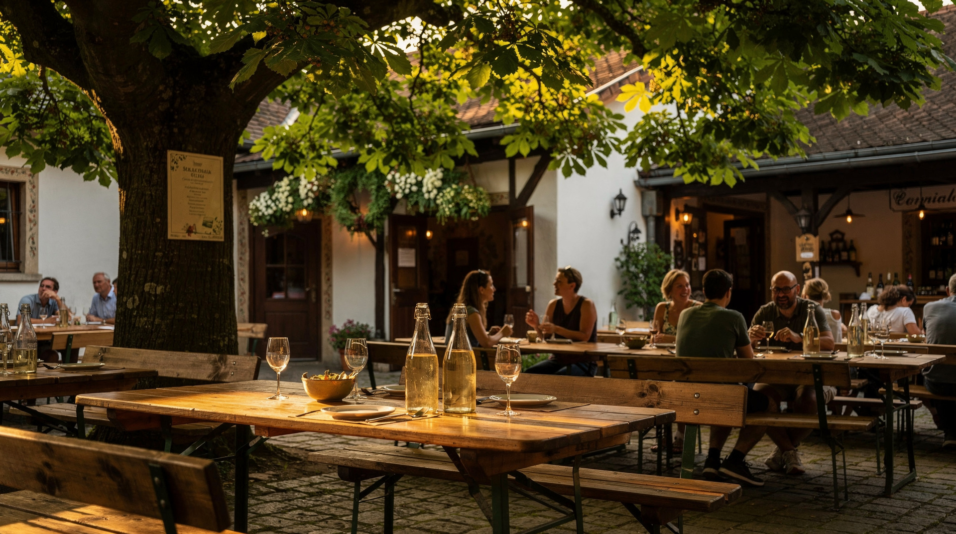
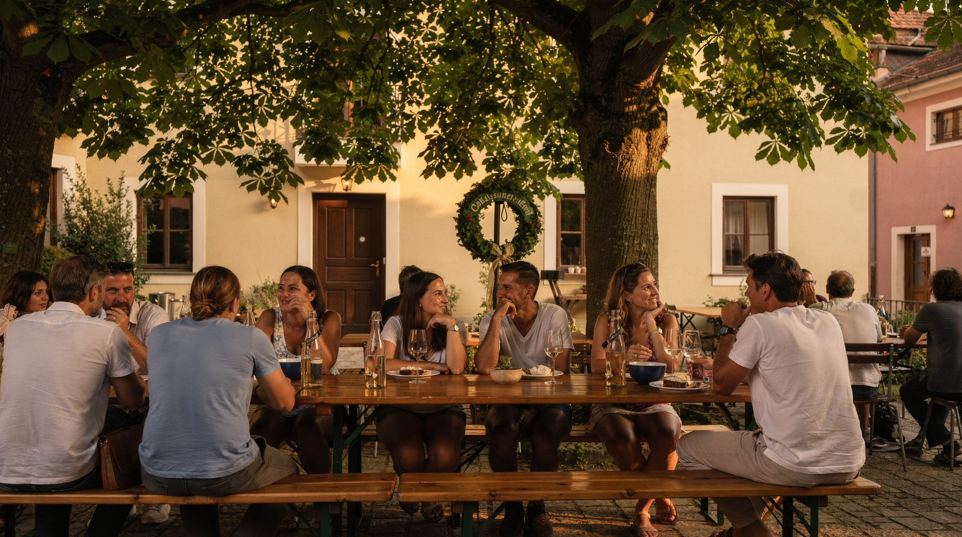
Heurigen are distinguished by the pine branch (Buschen) hung above the door — when the branch is displayed, the Heuriger is open. Inside: simple wooden benches and tables, cold buffet (Liptauer cheese, bread, pickles, cold meats), and the estate’s own young wine sold by the quarter-litre (Viertel) glass at €3–5.
The tradition is ancient — Emperor Joseph II decreed in 1784 that wine growers could sell their own wine directly without a wine merchant licence. The resulting Heuriger culture became one of Vienna’s most enduring social institutions.
Recommended Heurigen in Grinzing: Mayer am Pfarrplatz (Nussdorf, slightly outside Grinzing — more formal, excellent wines), Heuriger Schübel-Auer (Kahlenberger Straße, authentic atmosphere), Heuriger Kuntner (Cobenzlgasse, good terrace). Most open from around 4 pm; some close on Mondays. See the best Heurigen guide for current recommendations.
For the organised wine experience from Vienna, small-group Heuriger tours combine transport with a guided tasting:
Vienna Woods and Mayerling half-day tour from ViennaWhen to hike Kahlenberg
April–May: Ideal. The vineyards are budding, anemones in the forest, the view is clear after spring rain. Heurigen starting to open.
June–August: Hot days but the summit forest is shaded. Start before 10 am for comfortable walking. The café terrace is open and busy. Long evenings allow late afternoon hikes.
September–October: The vineyard harvest (Lese) takes place in September–October — you may see teams picking grapes in the terraced vineyards below. The beech forest above turns gold in October. Perfect combination of hiking and wine culture.
November–March: The café is typically closed. The Heurigen in Grinzing operate on reduced schedules (some close entirely). The forest is quiet and sometimes snow-covered. Bus 38A runs but less frequently.
Practical notes
What to wear: Comfortable walking shoes — even the summit-only visit involves gravel paths. Hiking boots are not necessary.
What to bring: Water (the summit café sells drinks but it is worth having your own), sunscreen in summer, a layer for the summit even in July.
Photography: Golden hour (1–2 hours before sunset) at the Kahlenberg viewpoint delivers the finest photographs of Vienna — the city lit in warm orange light, the Danube glinting east. This means hiking up in the late afternoon, which also avoids the midday heat in summer.
The 1683 battle: The Kahlenberg Museum (small, located in the church area) covers the Battle of Vienna in detail with maps and artefacts. Worth 20 minutes for anyone interested in the Ottoman period of European history.
See the Vienna Woods hiking guide for the broader trail network, and the Heuriger guide for the wine tavern culture that makes the descent to Grinzing such a rewarding conclusion.
Combining Kahlenberg with a wider Vienna Woods day
Kahlenberg is one entry point into a larger network of trails and villages that make up the Vienna Woods day trip — a region that stretches west and south of the city and includes Mayerling, Heiligenkreuz Abbey, and the spa town of Baden bei Wien. If you have a full day rather than a half-day, consider combining the Kahlenberg-to-Leopoldsberg ridge with a taxi or bus onward into the wider woods, rather than treating Kahlenberg as an isolated half-day excursion.
For photographers, Kahlenberg is one of the best-known Vienna photography spots — the golden-hour panorama over the city and Danube basin is difficult to replicate from any lower vantage point in Vienna itself.
Kahlenberg by season for photography and comfort
The hike and viewpoint change character considerably across the year, and this matters more here than at most Vienna sights because the entire appeal is outdoor and weather-dependent. Our Vienna in autumn guide covers the harvest season in more detail, including which Heurigen open specifically for the Lese period — useful if you are timing a visit to coincide with the grape harvest described above.
Where Kahlenberg fits in a Vienna trip
Kahlenberg works best as a change of pace after several days of museums and palaces. If you are still building your plan, the how many days in Vienna guide helps you decide whether you can spare an outdoor half-day, and the 7-day itinerary shows a pace with room for it. Visitors who prefer shorter stays can look at the Vienna weekend itinerary instead and keep Kahlenberg for a return trip.
The hike pairs naturally with the wine-village side of the city. The Grinzing Heuriger district page describes the lanes you will walk through at the end of the descent, and the Gruner Veltliner guide explains the grape you will most likely be pouring in your glass once you sit down.
If the weather turns, the summit is not a good place to wait it out. A rainy day is better spent in the best museums in Vienna, with the hike saved for a clearer morning. Check the forecast the evening before, since the view is the whole point of the trip, and the best time to visit Vienna guide explains how the seasons shape outdoor plans across the city.
If you would rather spend the first days on the imperial core without planning every transfer yourself, a full-day private tour that includes Schönbrunn Palace clears the big sights in one go and leaves a later morning free for the hill. And if the hike makes you curious about Austrian cooking beyond the Heuriger buffet, a guided Austrian food tour built around a full meal is a good way to taste more of it back in the city.
Getting to Heiligenstadt and back is simple with the city network, and the Vienna public transport guide covers how tickets and passes work so you do not have to puzzle over the machines at the U4 terminus. Travellers who like to finish a day outdoors with something more relaxed can follow the hike with an evening at a Heuriger in Grinzing and Nussdorf, or save the wine for a quieter night and read our Heuriger evening trip report first to see what the experience is like in practice.
Frequently asked questions about the Kahlenberg hike
What can you see from Kahlenberg?
On a clear day the Kahlenberg viewpoint (484m) shows the entire Vienna Basin east to the Slovak lowlands, the Danube and Klosterneuburg monastery to the north, the Vienna city centre, the Marchfeld plains, and in the far east the beginning of the Pannonian steppe.
Is the Kahlenberg hike difficult?
No — Kahlenberg summit is accessible by bus (bus 38A from Heiligenstadt U-Bahn), so any hiking from the summit is optional and on well-maintained forest paths. If you want a real ascent, hike up from Grinzing village (5 km, 200m ascent, 1.5 hours) on the marked trail.
What is the significance of Kahlenberg historically?
The Battle of Vienna (12 September 1683) was decided on and around Kahlenberg and Leopoldsberg. The combined Polish-Habsburg relief army under Jan III Sobieski descended from the Kahlenberg ridge to relieve the besieged city from the Ottoman forces — one of the decisive moments in European history.
Can I hike from Kahlenberg to Leopoldsberg?
Yes — the ridge walk from Kahlenberg to Leopoldsberg takes about 45 minutes on a well-marked path through mixed forest. Leopoldsberg has a restored Baroque church, a café terrace, and views over the Danube to Klosterneuburg. From Leopoldsberg you can walk down to Klosterneuburg (40 minutes) for the S-Bahn back to Vienna.
What is the Heuriger tradition in Grinzing?
Grinzing is Vienna’s most famous wine-village suburb, at the foot of the Kahlenberg vineyards. The Heurigen (wine taverns) open seasonally, serve young wine from local Grüner Veltliner and Riesling grapes, and provide cold cuts, bread and cheese. The classic Vienna Woods hike ends with a Heuriger session in Grinzing — combining fresh air and city views with local wine.
Is there a café at the Kahlenberg summit?
Yes — the Kahlenberg summit has a café-restaurant with a large terrace overlooking Vienna. Open seasonally (generally April to October, daily). Good coffee, Apfelstrudel and Austrian lunch dishes.
More tours on Viator
Top-rated experiences with verified reviews, bookable on Viator (a Tripadvisor company).
 Viator
Bratislava Post-Communism Tour
FromEUR 110Check availability → Viator
Guided City and Castle Tour from Bratislava
FromEUR 4Check availability → Viator
3 Hours Budapest Segway Grand City Tour Buda, Margaret and Pest
FromEUR 85Check availability → Viator